


How to Use MyArlington’s Projects Map Tool


Are you curious about all the construction happening and how it can improve transportation options around Arlington? Use the County’s new mapping tool to dig deeper into these projects.
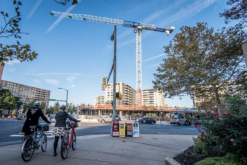
The traffic cones are in place and the construction workers haul in their equipment, but what kind of work are they actually doing? What is the purpose of this project? How long will the construction last and how can you check the progress? Arlington County recently launched an interactive map tool online and as a feature in the MyArlington mobile app that gives Arlington residents access to all of this information and more related to the construction projects happening in Arlington.
MyArlington Projects Map
The projects map tool was created based on the community’s interest in projects and construction happening in Arlington combined with the County’s focus on transparency and giving residents easy access to things happening in their neighborhoods.
Information related to County street projects, including road paving or sewer work and private development plans that have been submitted, approved, are under construction, or recently completed site plans is easily accessible.
The map does not include VDOT, APS, Washington Gas, Dominion Power projects or by-right development projects.
More about the Features
The map creates one location for the community to access this type of information. Data is combined from a variety of sources, including the Planning and Projects website, Open Data portal, and input from staff and information is updated several times a day. In addition to the data, users can easily search activity by project type, status, address, and civic association.
How to Use the Tool
- Visit my.arlingtonva.us.org or download the MyArlington app from the Apple Store or Google Play.
- Enter your address or any location of interest to zero in on projects in or around that area.
- Choose your view by using the Map or List tabs. The title of the project, project type, and status will display.
- Click on the title of the project for additional details, including the location of the project and dates.
Take some time to look through the projects happening around your neighborhood and let us know which ones you’re most excited about in the comments section.
Sam Kittner/Kittner.com
Comments are closed here.
To prevent spam, comments will be approved before appearing on the post. If you have a comment or question, but do not want it to be published, please email WalkArlington.